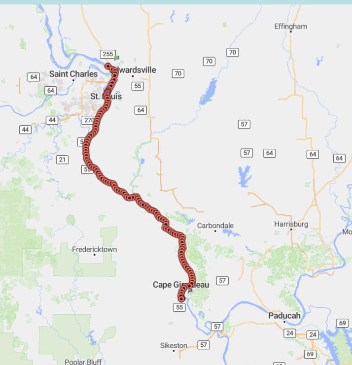
As there are virtually no marinas along this route of the Mississippi, we opt to make the most of the sunny day and push ourselves to the safe anchorage just outside of the city of Cape Girardeau, MO.
We leave Alton behind early, at 7 am.
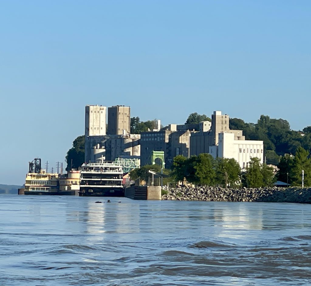
Before we leave, we call the lock, which is located immediately past Alton. As the current is swift, it is not an ideal location to float holding position or to anchor while awaiting the opening. Receiving the green light from the safety of our slip, is the best way to approach this lock.
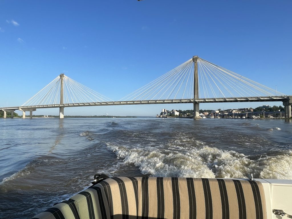
We pass under the Clark Bridge one last time and make our way into the lock chamber.
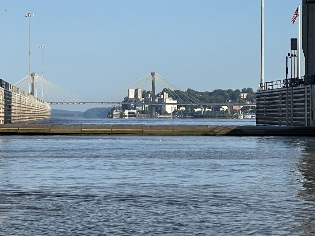
We enter the chamber of the Melvin Price Lock and Dam.
Our next lock of the day is at the Chain of Rocks. It is very important to read and follow this ONE river sign!
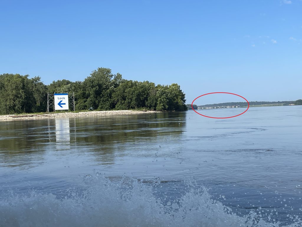
The red circle is the dam. As the lock is usually connected to the Dam, it would seem reasonable to navigate towards the dam. But at this particular lock and dam, the lock is miles away from the dam, lying at the southern end of the Chain of Rocks Canal. It is very important to heed the arrow on the sign, and most mariners do. The unfortunate ones missing the signage and disregarding their charts, don’t fare too well. Boats have been lost and lives endangered to those making the wrong turn.

The Chain of Rocks is a portion of the Mississippi River that is unnavigable due to the exposure of bedrock, which creates a river wide set of whitewater rapids. Not only is this area filled with submerged rocks, but also is home to many concrete hazards and construction rebar. The corresponding dam, along this portion of the river, is a low head dam. This type of dam spans the river but allows water to flow continuously over the top from bank to bank. Although the white water rapids may appeal to kayakers and other recreationalists, it is highly discouraged for anyone to navigate these waters, with or without a boat. Besides the rocks and debris, the dam itself also presents a danger and is called a “drowning machine” as its turbulent currents provide no escape.
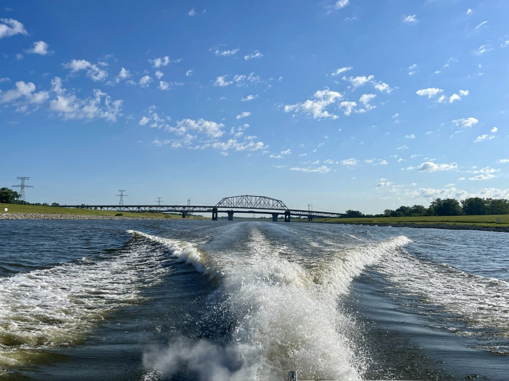
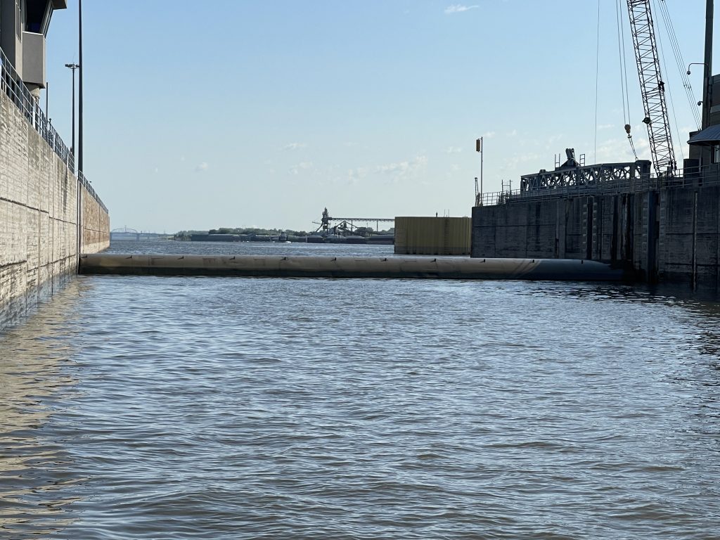
We cruise down the 8.4 mile man-made Chain of Rocks Canal, purposely built for vessels to bypass the treacherous portion of the Mississippi. Luckily, we do not encounter any barges along the canal, as it is quite narrow. Situated at the end of the canal, is the lock. The usual lift is 15 ft. Today we are lowered much less.
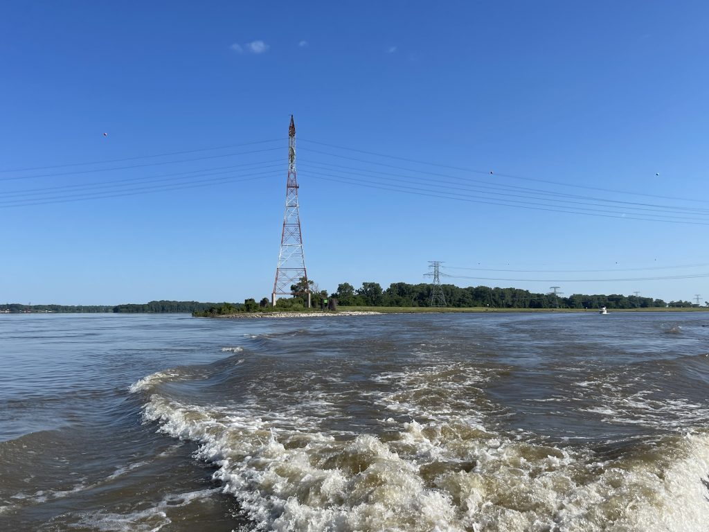
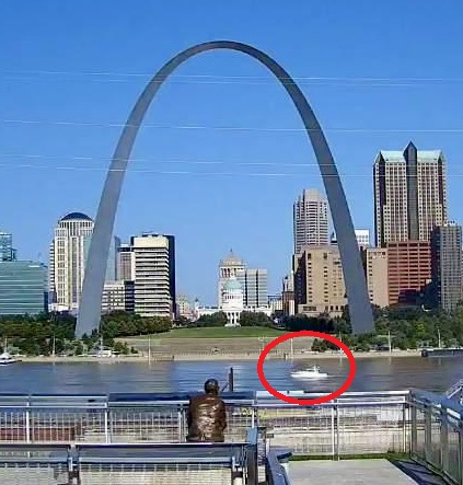
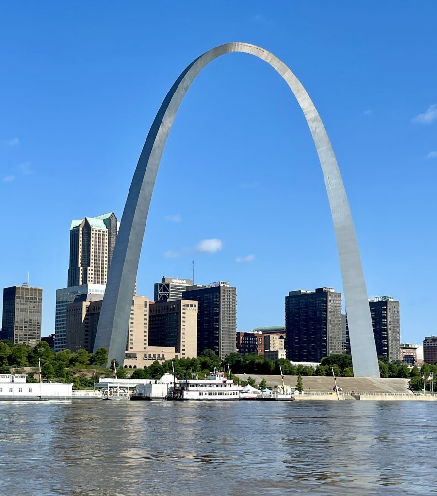
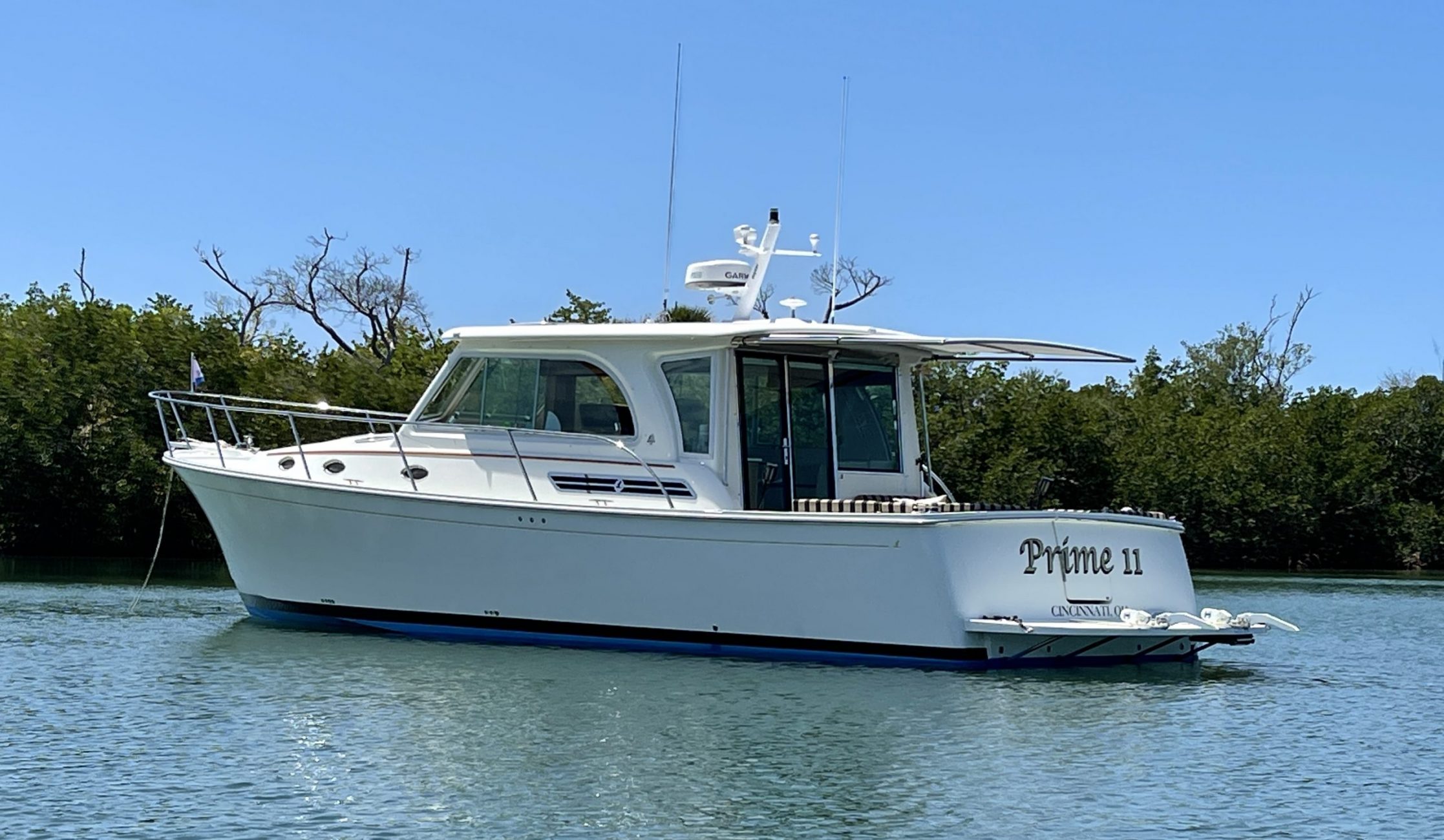
Given the size of St. Louis, one would think a marina would be nearby so boaters can stop to visit and explore the city. Unfortunately, there is not. The closest marina is the one we just left at Alton. With its very industrialized riverfront, St. Louis offers no transient day docks or even a waterfront restaurant/bar to tie alongside. Therefore, our St. Louis experience will truly be just a “sightseeing” encounter. We will only experience St. Louis from what we see aboard Prime 11.
Once past St. Louis and the industrialized area, we observe some beautiful houses perched on the cliffs in the town of Pevely, MO.
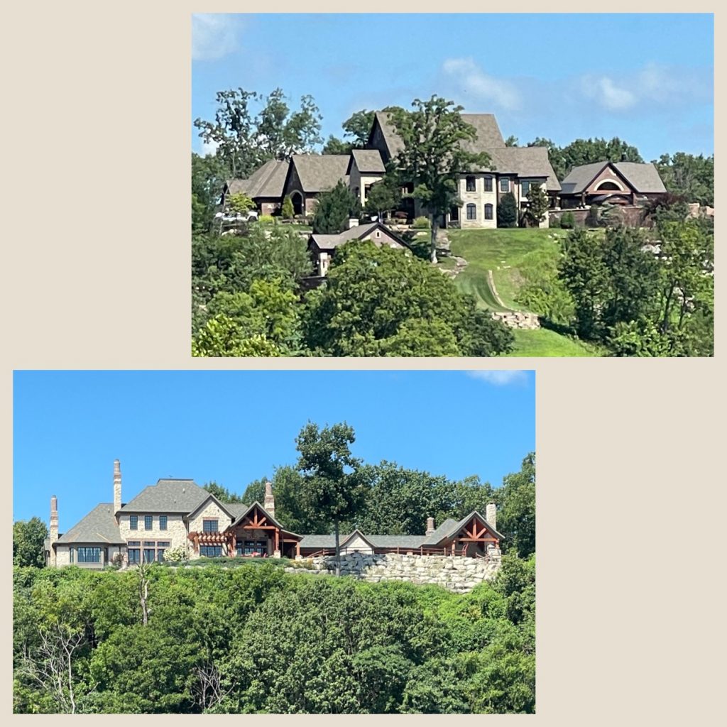
Besides sightseeing the massive Gateway Arch, the spectacular homes and the stately Viking riverboat, we constantly are sightseeing for debris.
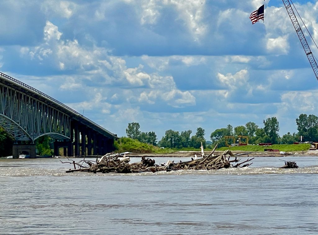
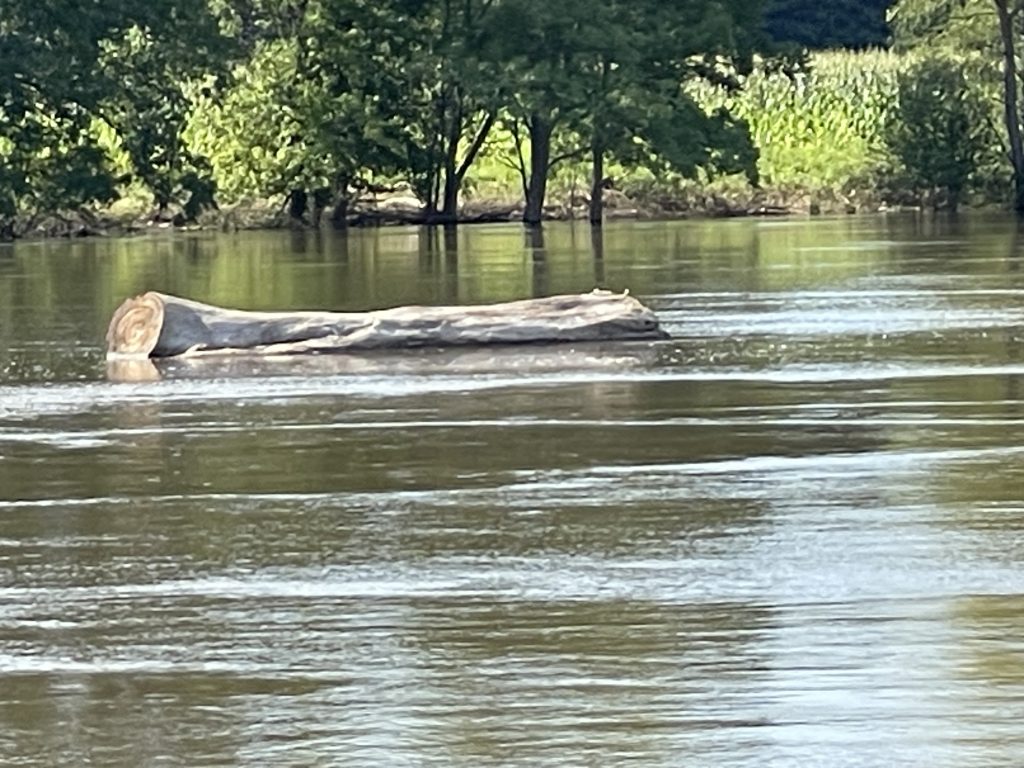
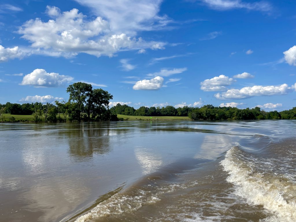
Besides the debris, the barges also presented some challenges. As the river current downstream is strong as a result of the flooding, those tows heading upstream are “full steam ahead” pushing their cargo along. This creates large wake for the innocent pleasure boater on a leisurely cruise. Of course, we don’t see many pleasure cruisers out today…I wonder why? 🤔
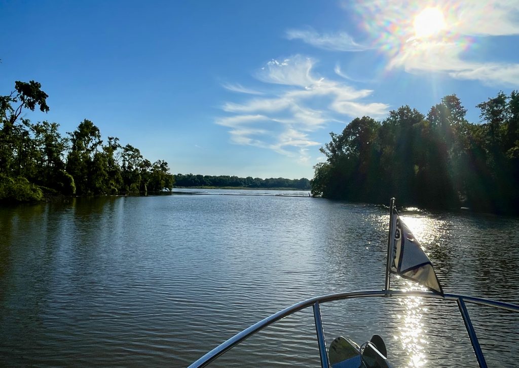
There are some areas of the Mississippi that are perfectly tranquil and very scenic.



Love your screenshot in front of the arch from the earthcam!